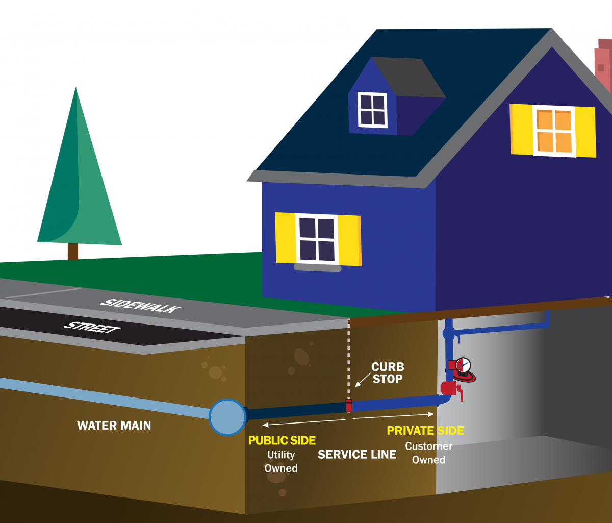
The Portland Water District (PWD) has begun an extensive project to identify 40,000 “curb stop” service valve locations throughout its service area.
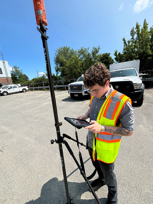
PWD has engaged Sebago Technics of South Portland to conduct the project. It will use high-accuracy GPS data points to locate and record the curb stop valves, many of which date back decades—or even longer.
The project is estimated to take 2.5 years to complete. Curb stops are water shutoff and turn-on valves between a public street or right of way and a residence, business, or other structure. Currently, PWD has 20,000 curb stops accurately identified in its system; this project will update and confirm the locations of 40,000 more.
Although all curb stop locations were known and recorded at one point or another via “service cards,” over time, changes can occur to obscure locations. Building sizes and locations can change, trees can be planted or removed, and streets and pavements can be widened or altered. Updating exactly where each curb stop is and how to reach it can be critically important.
“Precise GPS location of our service assets allows PWD to efficiently respond to leaks or water quality concerns by quickly locating and shutting off water valves,” said Chris Crovo, Director of Asset Management and Planning at PWD. “This improves our responsiveness, saves time, and reduces costs.”
In contrast to information provided via service cards, GPS data points remain stable no matter what happens to the surrounding site conditions. This technology allows the valves to be located precisely and quickly, even under snow or underground.
For the first phase, Sebago Technics will focus on residential areas with one valve per property. As the project progresses, the work will get into more challenging locations, such as downtown Portland and the various islands served by PWD.
Customers may notice some of the work being done. Finding all of the curb stops will require visual inspection, the use of magnetic wands, a limited amount of digging, and possible surveying.

# # #